
The surroundings matter as much as the property itself.
GeoScan started from a simple observation: when you buy, rent or analyse a property, it is easy to check the floor area, the price and the building standard. It is much harder to quickly judge the quality of the surroundings: transport, noise, access to services, greenery, environmental risks or planning restrictions. We exist to organise this information and present it as an easy-to-read location report.
Overall location score
Example- Quiet area, lots of greenery
- School and kindergarten within walking distance
- Moderate risk of local flooding
Our approach to data
GeoScan is built on spatial, environmental, transport and administrative data. We combine public, scientific, local-government, satellite and commercial sources and process them into indicators that can be compared between locations.
50+
data sources and registers
76
indicators in 4 categories
All of Poland
any address or plot
20 s
from data to a finished report
What sets us apart
Data instead of gut feeling
We assess a location using measurable indicators, not generic descriptions of the neighbourhood.
76 indicators in 4 categories
An urban-planning perspective
We look beyond distances at how the surroundings actually work: accessibility, nuisances, risks and everyday convenience.
Within walking distance
- Kindergarten6 min walk
- Bus stop3 min walk
- Grocery store5 min walk
A clear result
We turn complex spatial data into a report with a score, commentary and the location's strengths and weaknesses.
Score scale
The GeoScan team
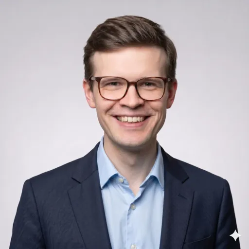
Aleksander Łabuć
CEO
Leads GeoScan and is responsible for strategy and growth. Previously a strategy consultant at Deloitte and world runner-up in negotiation. Graduate of SGH Warsaw School of Economics.
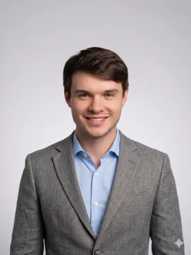
Mikołaj Fiedorczuk
AI & Full-Stack Engineer
Responsible for GeoScan’s technology and infrastructure. Previously an AI Engineer at Accenture and a builder of autonomous drones. Graduate of Warsaw University of Technology.
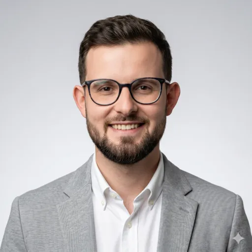
Jakub Kaczorowski
Geospatial & Full-Stack Developer
Responsible for spatial analysis, the frontend and GeoScan’s report system. Previously a GIS specialist in urban planning and mobility. Graduate of Warsaw University of Technology and TUM.
Contact
Want to talk about the product, B2B partnerships, API integration or using GeoScan in property analysis? Use the contact form.