Make your decision based on data
Enter an address — we analyse 50+ data sources so you avoid costly mistakes, save weeks of research and choose the best property at the right price.
Free START report, no sign-up..
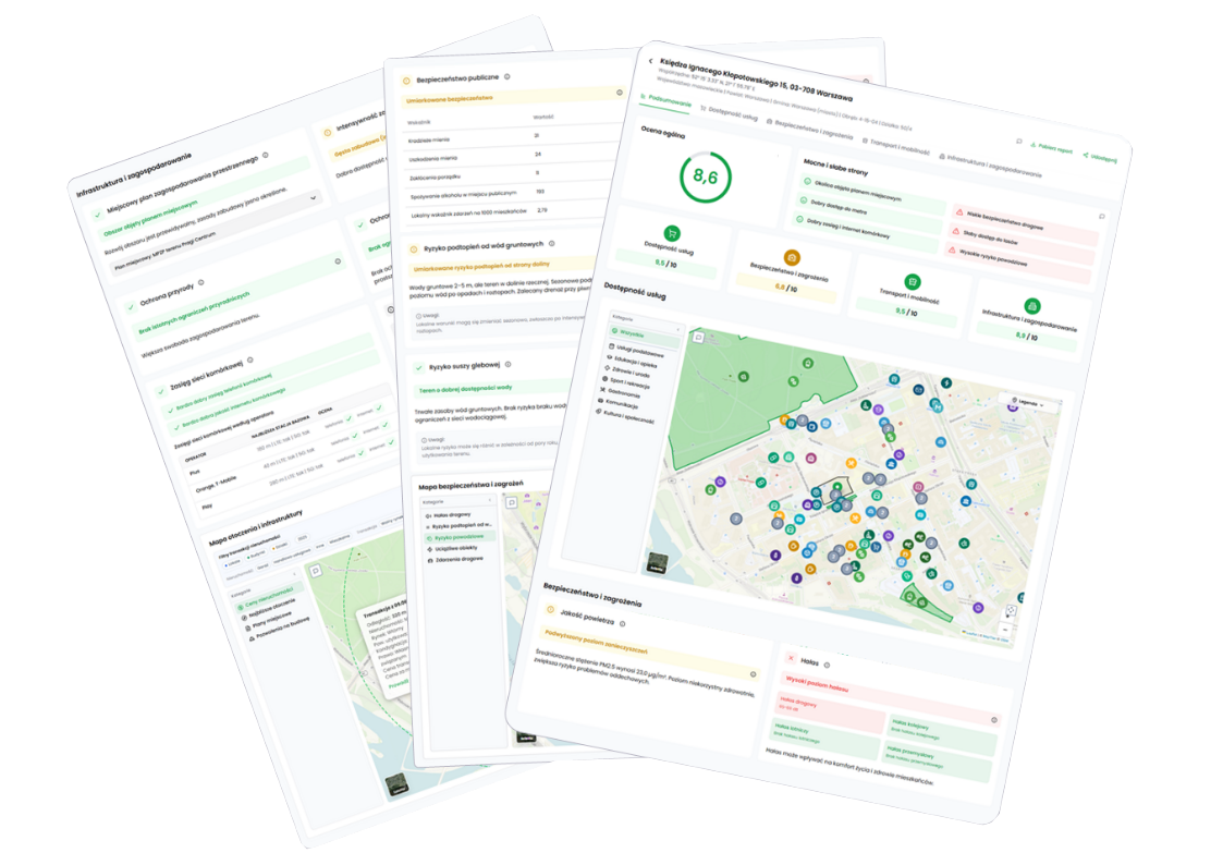
Risks you won’t see in the listing
How does it work?
From an address to a full analysis in about 30 seconds.
Enter an address
Give us an address, coordinates or a cadastral parcel number — we cover every location in Poland.
Choose a report
START (free), STANDARD or PRO — the higher the tier, the more indicators and the deeper the analysis. See report pricing.
Done — explore your report
Within seconds you get a full report with a score, maps, and the strengths and weaknesses of the location.
We reveal what the seller would rather hide
GeoScan instantly analyses millions of spatial, satellite and statistical data points to help you choose your dream property safely.
Spot hidden flaws of the location
We check 100 indicators — from flood risk to noise and missing infrastructure — so you don’t buy a pig in a poke.
Know how safe the area is
Police, fire brigade and ambulance data — check crime levels and emergency response times.
Verify the real value
Compare transaction prices from notarial deeds nearby — don’t overpay or sell below value.
Know the property in every detail
Public transport, roads, parking, 5G coverage — from the commute to everyday shopping.
Check environmental hazards
Floods, landslides, air pollution, groundwater — data from Polish Waters, the Polish Geological Institute and the Chief Inspectorate of Environmental Protection in one report.
Find out what will be built next door
Local zoning plans (MPZP), building permits and nearby developments — avoid unpleasant surprises.
Partners


As featured in





Why do smart buyers use GeoScan?
Our reports uncover the key risks that lower a property’s value and help you make the best decision.
Avoid costly traps
Flood risk, landslides, noise or no local zoning plan (MPZP) — you learn about them BEFORE you sign the contract.
Save dozens of hours
Instead of trawling through offices, maps and databases, you get everything in one clear report in about 30 seconds.
Negotiate with hard data
75 dB of noise, no nursery school within walking distance, a zoning plan that allows a factory next door — these are arguments that bring the price down.
How GeoScan helps with real decisions
We talk to users after they have checked a property. Here are situations where the report helped them decide.
I was looking for a plot to build a house and was afraid I’d miss something. The report showed me the flood risk and that there was no local zoning plan — two things the seller never mentioned. It saved me a lot of stress.
Michał
Buying a plot to build a house
Interview with a GeoScan user · May 2026
Verified transactionWe were torn between two flats. The report showed there was no nursery or preschool within a reasonable distance of one of them. The choice became obvious.
Kasia
Buying a flat for her family
Interview with a GeoScan user · June 2026
Verified transactionAs an agent I send the report to clients at every viewing. I get fewer questions and clients feel I’m being professional. It pays for itself after the first deal.
Tomek
Real-estate agent
Interview with a GeoScan user · June 2026
Verified transactionI buy flats to rent out and the report helps me quickly rule out problem locations. Recently I avoided buying in a mining hazard zone.
Bartek
Buy-to-let investor
Interview with a GeoScan user · May 2026
Verified transactionI was looking for a flat to rent and the report showed that the area around one of them had a high crime rate. I would never have checked that myself.
Ola
Renting a flat
Interview with a GeoScan user · June 2026
Verified transactionIt’s my first flat and I didn’t know what to look at apart from the price. The report showed me things I would never have thought of.
Marta
Buying her first flat
Interview with a GeoScan user · June 2026
Verified transactionCheck your location
Enter an address and get a full analysis in seconds.
Free START report, no sign-up..
Frequently asked questions
What does a GeoScan report include?
How quickly will I get the report?
Where does the data come from?
How do I check a plot before buying it?
How do I check whether a plot is in a flood zone?
How do I check the local zoning plan for a plot?
What is the difference between the START, STANDARD and PRO reports?
What does the GeoScan Guarantee cover and how do I get a refund?
Can I compare several locations?
Is the report useful when renting?
Is GeoScan available for businesses?
Blog
Practical tips and the latest in property analysis — everything you need is in our up-to-date articles (in Polish).
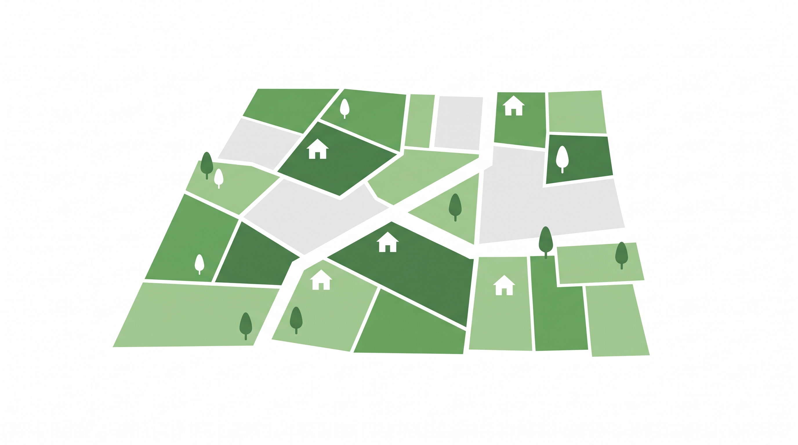
Jak sprawdzić przeznaczenie działki przed kupnem? Ukryte pułapki w planie miejscowym
August 20, 2026
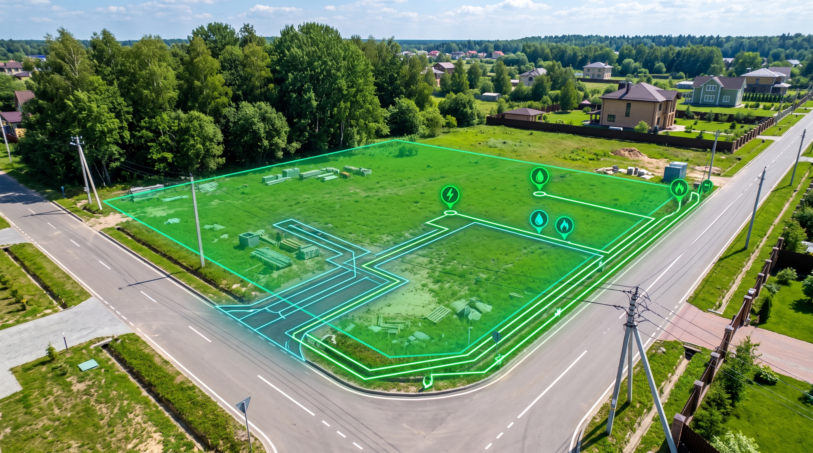
Jak sprawdzić dostęp do drogi i mediów przed zakupem działki budowlanej?
August 10, 2026
Weryfikacja MPZP i planowanych inwestycji w sąsiedztwie. Jak sprawdzić plan zagospodarowania przestrzennego?
August 1, 2026